Case IH RTK+ auto-steering now also uses Galileo GPS

Case IH AFS RTK+ guided auto-steering now also uses the European Galileo GPS network.
Case IH adds the European Galileo system to the compatible satellites with which it works, to maximise levels of signal reception and reliability for farmers using Case IH RTK+-guided auto-steering and related technologies.
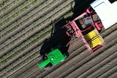
Real time kinematic (RTK) systems typically depend on signals from the American GPS or Russian GLONASS satellite networks, both designed primarily for non-civilian use. “To give European our users a reliable alternative when using RTK+-guided steering systems with their sub-1.5cm repeatable accuracy, Case IH AFS RTK+ now also uses the Galileo network, a European system focused on civilian use,” says Case IH.
Text continues underneath image

Addition of Galileo to minimise risk of signal failure
The addition of Galileo to the global GNSS constellation should help minimise the risk of signal failure, a key driver for the integration of its signals into the Case IH AFS RTK+ signal system. European satellite network independence is a principal objective, but Case IH AFS RTK+ is, according to the manufacturer, also designed to be compatible with existing and planned GNSS satellites and inter-operable with GPS and GLONASS.
Galileo builds on the capabilities of EGNOS (European Geostationary Navigation Overlay Service), the first pan-European satellite navigation system, with improved positioning and timing information. As a result, consistency of signal coverage is enhanced, and a robust and reliable signal for accurate pass-to-pass repeatability is ensured.
“This benefits farmers by minimising downtime from waiting for lost signal to be regained, and ensures consistently high efficiency of use of seed, fertiliser and crop protection products through parallel passes with minimal overlap, thereby maximising crop potential,” says Case IH.
Text continues underneath video
GNSS technology offers new possibilities
“The use of GNSS technology is opening up new productivity levels and opportunities in European agriculture, providing farmers with an unprecedented level of knowledge about their crops, livestock and operations while making the sector more efficient, economically competitive and environmentally
sustainable,” says Maxime Rocaboy, Product Marketing Manager AFS technology at Case IH.
“Enhanced RTK+ accuracy through incorporation of signals from the Galileo satellite system is a core way in which we can help Case IH tractor and combine users be innovative and competitive as they seek to help develop a sustainable agriculture to feed an ever-increasing world population in an environmentally responsible way.”
Also read: How the EU satellite positioning system will benefit farmers
Join 17,000+ subscribers
Subscribe to our newsletter to stay updated about all the need-to-know content in the agricultural sector, two times a week.