French firm launches drone service to monitor crops

Consumer drones manufacturer Parrot is going professional, offering data capture and analysis packages for small to medium-size businesses, starting with the agricultural and horticultural sectors.
Parrot is already a key player selling its popular Bebop and Disco models to the public.

However, the French company is expanding its offering, having acquired interests in a number of related-technology companies, including fixed-wing unmanned aerial vehicle (UAV) maker Airinov and software specialists MicaSense, Pix4D and senseFly.
See also: Drone upgrade improves crop image accuracy in cloudy conditions
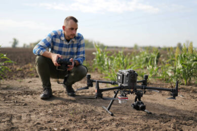
It is now combining products from these companies to create a crop-scouting package based on the Parrot Disco “flying wing” customised for professional use.

Parrot Disco-Pro ag package
The Parrot Disco-Pro ag package includes the company’s Sequoia compact multispectral sensor and Skycontroller2 long-range remote control; the flightplan app Pix4Dcapture; and access to the Airinov First+ online platform for image processing into usable maps.
A reinforced fuselage enables the pusher-propeller, fixed-wing Disco-Pro Ag drone to accommodate the Sequoia sensor, which captures images of crops at 14.3cm per pixel resolution in both visible and invisible spectra, including near infrared.
Discover Parrot Disco-Pro AG, the end-to-end multipurpose and easy to use solution for farmers and small cooperatives. pic.twitter.com/r4fWQdpGCL
— Parrot (@Parrot) 10 May 2017
Sunshine sensor records light conditions
There is also a 16MP camera and a luminosity or ‘sunshine’ sensor that records light conditions to automatically calibrate collected data, which is stored on a 64GB memory chip.

Preplanned scouting route
Users can fly the drone on a preplanned scouting route covering up to 80ha in about 30 minutes or under manual control using Skyscanner2 Wi-Fi remote control with 2km range.
Automatic anti-stall is included in the drone’s on-board control system, which is activated when the craft is thrown into the air, and a 14MP nose camera can be used to capture video footage.
Join 17,000+ subscribers
Subscribe to our newsletter to stay updated about all the need-to-know content in the agricultural sector, two times a week.