Precision farming insights – Part 2: Working with Variable Rate Technology


There is a lot to learn from how-to articles, but this time, the how-to article is continued with a hands-on approach and a real-life case applied and observed over a whole year.
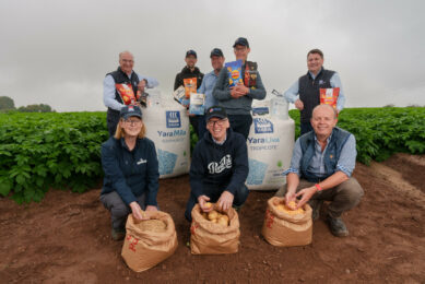
Last spring, I teamed up with a farm near me where they grow vegetables and large crops. The farm size is over 2.000 ha, of which around 1.000 ha are cultivated with irrigated corn. For this surface cultivated with corn, they decided to try the application with variable rate for nitrogen-based fertilizer to improve their way of working and yield. At the same time, they were looking for a better and smarter way to apply these types of fertilizers.
So, what have we done, how, and what tools did we use?
All this work was done last spring when the corn was around 6 leaves, between the last week of May and the first week of June 2023. We chose to use satellite-based NDVI images to have a view of the crop status, as we had 10 fields in total, with an average of 90+ ha per field. We dismissed other ways to capture the NDVI images because of the large surface of the corn fields, the cost, and the short time to do the job, plus other small reasons. Because the corn was small, the quality and the differences in the NDVI levels were not great, but we used some algorithms available in the software to boost the quality of the data.
Once this step was done, meaning to select the most recent and cloud-free images to enhance the quality of the data, we selected a few scouting points for each field. More or less, each field had six scouting points, placed as follows: three in the areas with the highest NDVI values and three in the opposite areas, with the lowest images. After this, we got our feet on the ground and, using the phone GPS, we navigated to each of these points to check what the real reasons are for the low or high NDVI values.
Text continues below picture

We had to do this scouting to decide what approach we would have for each field – apply more fertilizer where NDVI values are small or apply more fertilizer where the values are low. After we finished scouting all points and all fields, the decision taken for all fields was to apply more fertilizer where NDVI values were lower, as we found out that the plants were less developed, and the very likely cause for this was the nitrogen level in the soil. Of course, we had taken an eye on the previous year’s soil sampling results before jumping to this decision.
Text continues below picture

At this moment, we returned to our office and used the same software to create the VRA map and export them to the machine used to apply the fertilizer on the field. It needs to be mentioned here that I decided, together with the farm manager, to work with an average approach for the VRA values. What does this really mean? It means that, in total, the same amount of fertilizer is applied to the entire field as when applied at a flat rate, only that now, some areas will receive a higher quantity of fertilizer and others a lower quantity. The main reasons to choose this average approach were: this was the first time they did this, and they made this decision quite late. The amount of fertilizer in stock of the farm was prepared for the flat-rate application method, and also, they preferred not to “risk” on the first try by applying an overall smaller quantity than in previous years.
Text continues below picture

Once we exported the VRA maps on a USB memory in the right format, we transferred them to the display used to control the spreader. The equipment was a Trimble display with automated steering and RTK correction signal, linked via ISOBUS to a Sulky spreader. The application went smoothly, without any issues, and as you can imagine, it took several days to be done (only one machine was used to spread the fertilizer on the entire surface).
Text continues below picture

After one and a half months, we decided to measure the results of our job, and the results were amazing. Seen from the satellite, using the NDVI images, the results were excellent. Indeed, there were still some differences in corn, but compared with the differences from one and a half months ago or compared with previous years, the results have been more than amazing for the farmer. And this is something that we could see also with our eyes when we visited the corn fields.
Text continues below picture

After this “experiment”, the farmer decided to repeat yearly the variable rate of application for nitrogen fertilizers, and another farm with a connection with this one (but bigger) decided to start doing the same kind of application using the same strategy. Of course that the farmer was able to notice the differences during harvest – the yield was uniform and slightly better than expected.Throw an eye this summer here to see how this other application went and what the results are.