

How is NASA trying to help farmers?

While NASA strives to once again reach the moon, it’s partnerships with the world’s agricultural community grows.
NASA hopes it’s suite of free-to-access tools will help farmers, researchers, agribusinesses and others support food security in a changing global environment. Doing so more effectively and at-scale relies on listening to the informational needs of farmers.
NASA food focus spurred by climate change
NASA resources say its scope of work with the agriculture sector has increased in recent years thanks, in part, to the threats posed to food security by climate change. Part of the broader initiative includes determining what data and tools farmers need now, as well as in the future, as changing weather patterns spur changes in management practices.
Brad Doorn, program manager for water resources and agriculture in NASA’s Earth Science Division, says the agency is working directly with members of the agriculture sector to determine how pre-existing tools can be refined for on-the-ground needs. Touring production areas and having on-site discussion with growers is part of the approach.
“As we’re touring with these producers, we have been so impressed. We knew their job was tough, with the complexity of their job, how they have to deal with multiple issues – from economics to their agronomy issues, to weather, and then pull that all together and produce the food we all enjoy, is amazing,” says Doorn.
“What was awful nice to hear, too, is the history and how the history of those farms and those production areas are so important to how we drive into the future, and how they understand the land. [There are] really some neat ideas that we’re going to bring back to NASA.”
Most people don’t instinctively put NASA with agriculture. But really, all of the tractors around here are being driven by GPS…
Nebraska grain farmer engaged by NASA
Zach Hunnicutt, a grain farmer from south central Nebraska, is one of the growers engaged by the space agency. “We’ve been asked by a number of people [recently] why NASA was at our place. Because again, most people don’t instinctively put NASA with agriculture. But really, all of the tractors around here are being driven by GPS…that’s been a big part of what we’ve been doing for the last 15 to 20 years,” says Hunnicutt, adding the last several years have been characterized by the more widespread use of satellite imagery for in-season decision making.
On Hunnicutt’s farm, more regular satellite images (as well as drone imaging) have allowed for the earlier detection of problems, whether real or potential. “At this point it’s a little unrefined. It’s a little more of a ‘hey, there’s a problem over there, you should maybe go check it out,’ without having a lot of detail. Sometimes we can get a little more detail about whether it’s maybe a weed pressure or an irrigation problem, a bug infestation. But we’re still working on getting more precise, and getting more useful data from that.”
Text continues below image
Incorporating longer-term information about movement of pests
By identifying gaps in NASA’s agricultural data tools, Hunnicutt believes the quality and scope of predictions can be significantly increased. Incorporating longer-term information about the movement of pests, for example, might be particularly useful from an agronomic standpoint – particularly as climactic changes cause species to shift and expand territory. Identifying longer term wind pattern shifts may be another useful expansion.
We’ve watched the drought monitor a lot
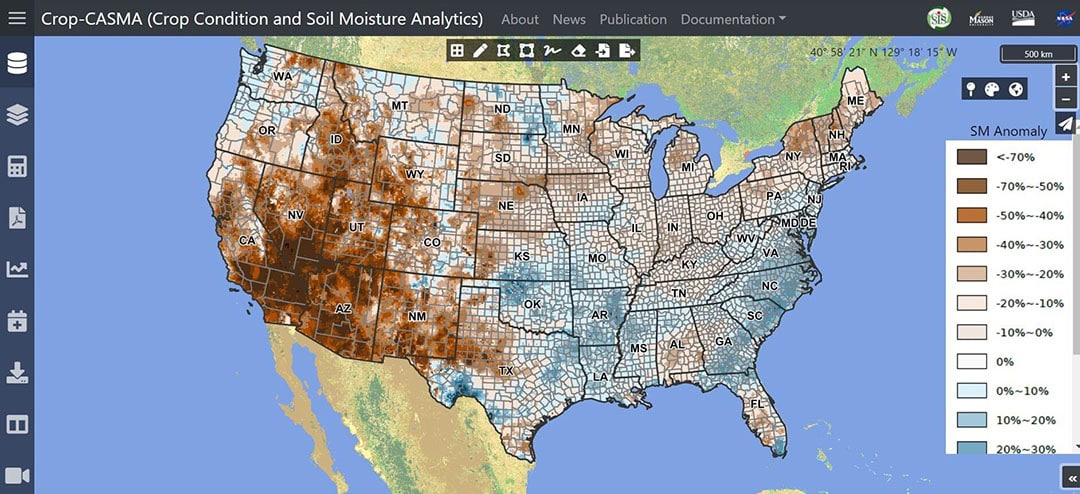
This is not to say currently available information has not been useful, however. “The drought monitor is a product we’re very familiar with, especially this year since it’s forgotten how to rain. We’ve watched the drought monitor a lot,” says Hunnicutt.
“Right now, we do a pretty good job of understanding soil moisture deficits or excesses. That’s a pretty big part, especially as important as water is in agriculture. It would be helpful to have some understanding of how the moisture patterns throughout the growing years, through the growing season, how that affects what’s going on. How does the rain or lack thereof affect what’s going on here? Understanding some of those dynamics a little more, even if they will be things that are impacting production besides water, such as weeds or insects, fungus – things like that.”
A solid two-week forecast of weather
Susan Metzger, associate director for agriculture and extension at Kansas State University, reiterates NASA resources have to make farmers’ lives easier in order to be successful. Her conversations with primary producers indicate solid 14-day weather predictions would itself have a huge impact.
“Some of the challenges that we heard about, and [Hunnicutt] alluded to this in some of their management decisions, is really having a solid two-week forecast of weather,” says Metzger.
“Predictions might be too strong of a word, but at least an understanding of the probabilities of what might happen at their localized area in a two-week timeframe. They can really mitigate some risk and make some decisions in that two-week window [but it is] a moving target.”
The video below shows how NASA’s OpenET technology can help farmers manage their water resources (Text continues below video).
Join 17,000+ subscribers
Subscribe to our newsletter to stay updated about all the need-to-know content in the agricultural sector, two times a week.


